Discover the resources across diverse industries including eBooks, brochures, flyers, and webcasts. Access valuable insights, detailed product information, and expert-led sessions to explore solutions in PLM, 3D printing, geospatial intelligence, engineering simulation, EDA, optical solutions and more. Empower your business with knowledge and tools for success.
Our Resources Library
Find everything that you need on our solutions
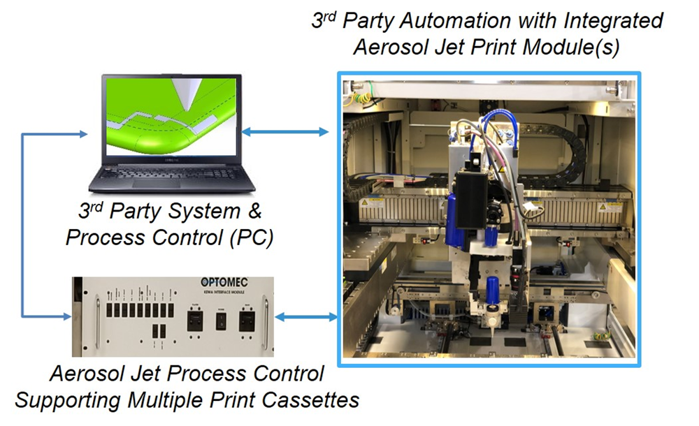
Aerosol Jet Overview
Aerosol Jet systems are ideally suited to develop, fabricate, enhance and repair high performance electronic and biologic devices for Consumer Electronics, Semiconductor Packaging, Displays, Aerospace/Defense,…
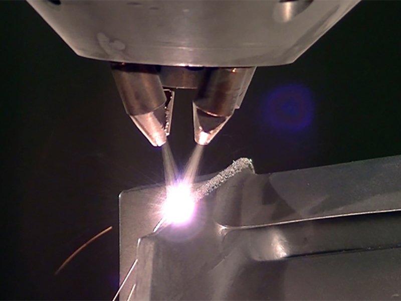
Optomec Overview
Optomec is a leading provider of advanced 3D printing solutions, specializing in metal and functional electronics manufacturing. Their innovative technologies, including LENS (Laser Engineering Net…

CONTENT CREATION TERRA VISTA
Terra Vista is a terrain generation software that gives content creators, integrators and database developers the tools they need to handle everything from the extreme…
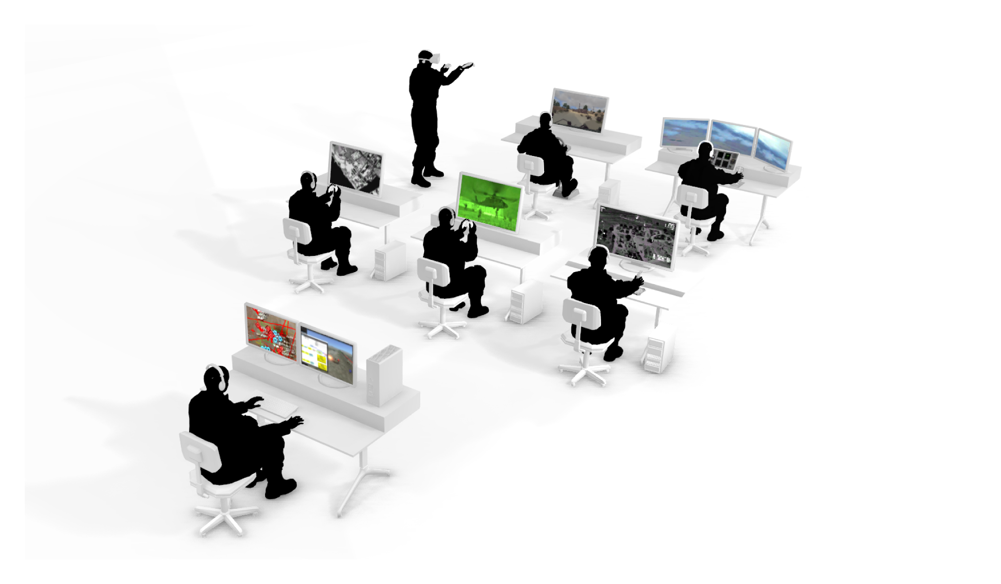
MAK ONE
MAK ONE is an open and modular product suite that provides a whole world multi-domain synthetic environment which serves as a digital-twin of planet Earth.…
ACCELERATED ELECTRIC-DRIVE INNOVATION
Revolutionizing e-drive development with an innovative MODSIM approach, which unifies modeling and simulation on a common data model. This method empowers engineering teams to collaborate…
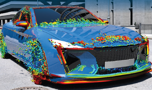
Vehicle Styling for Aerodynamic Performance, Efficiency, and Certification
SIMULIA simulation solutions can be used to accelerate innovation and reduce the risk involved in developing new vehicle designs. As well as enabling right-first-time designs…

Saber Aerospace Overview
Saber is the proven standard for mechatronic system design and verification. Aerospace design teams worldwide use Saber to develop complex mixed-technology systems that must meet…
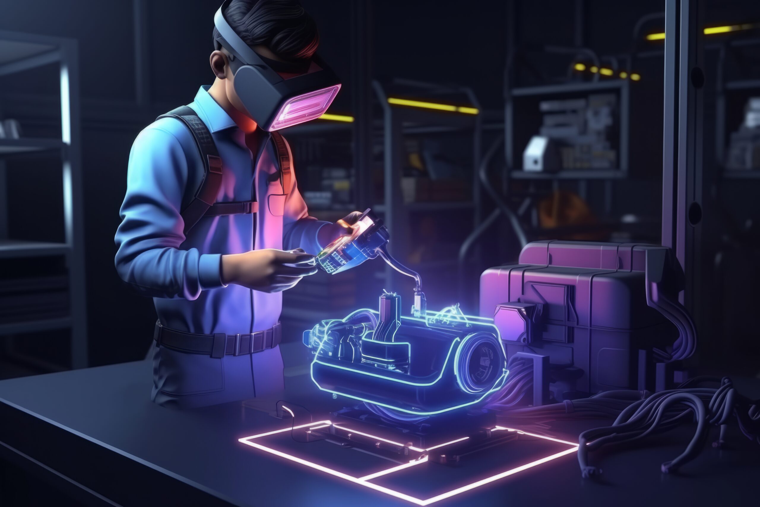
Saber Electrical System Designer
The complexity of the electrical system in today’s cars and commercial vehicles has increased tremendously over the last few decades. The expansion of infotainment and…

Silver
Silver is a Software-in-the-Loop (SiL) solution to create and run virtual ECUs (vECUs). It provides an early, scalable, cost-effective, and deterministic simulation platform for ECU…
Check Out Interesting Customer References
Across diverse industries and encompassing various solutions, discover the customer references in EDST Annual Calendars
