GIS Applications in Mining Industry
- admin_eds
- September 17, 2024
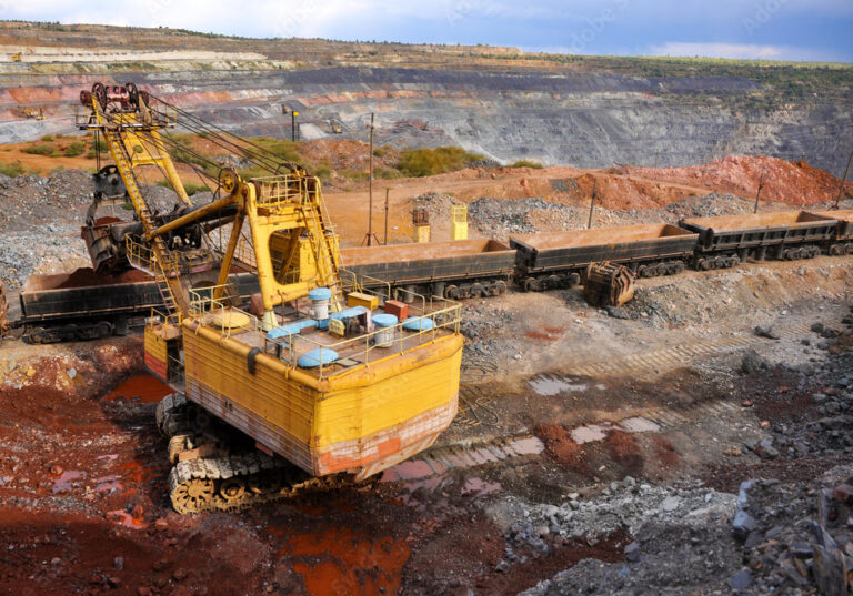
GIS is a versatile tool for gathering, storing, and accessing geographic information quickly and easily. ArcGIS is ideally suited to assist mining professionals in meeting the complex challenges of running the mine operation, with tools to compile, process, display, analyze, and archive massive volumes of data. From mineral exploration to mine remediation, ArcGIS supports decision-making throughout the entire mining life cycle. Everyone in the mining company can access data and maps for project planning, mine operations, transportation management and risk analysis.

Recent Posts
-
A Deep Dive into the Future of Additive Manufacturing
Part 1: What is Additive Manufacturing? Additive Manufacturing (AM): Additive Manufacturing (AM), commonly referred to as 3D printing is a manufacturing process to form 3D…
-

Field Operations
Build To Operate Co-Design To Target Passenger Experience Engineered To Fly
-

Imagery and Remote Sensing
Build To Operate Co-Design To Target Passenger Experience Engineered To Fly
-
3D GIS
Build To Operate Co-Design To Target Passenger Experience Engineered To Fly
- admin_eds
- September 17, 2024
GIS Applications in Mining Industry
GIS is a versatile tool for gathering, storing, and accessing geographic information quickly and easily. ArcGIS is ideally suited to assist mining professionals in meeting the complex challenges of running the mine operation, with tools to compile, process, display, analyze, and archive massive volumes of data. From mineral exploration to mine remediation, ArcGIS supports decision-making throughout the entire mining life cycle. Everyone in the mining company can access data and maps for project planning, mine operations, transportation management and risk analysis.