Exploring the Future of GIS

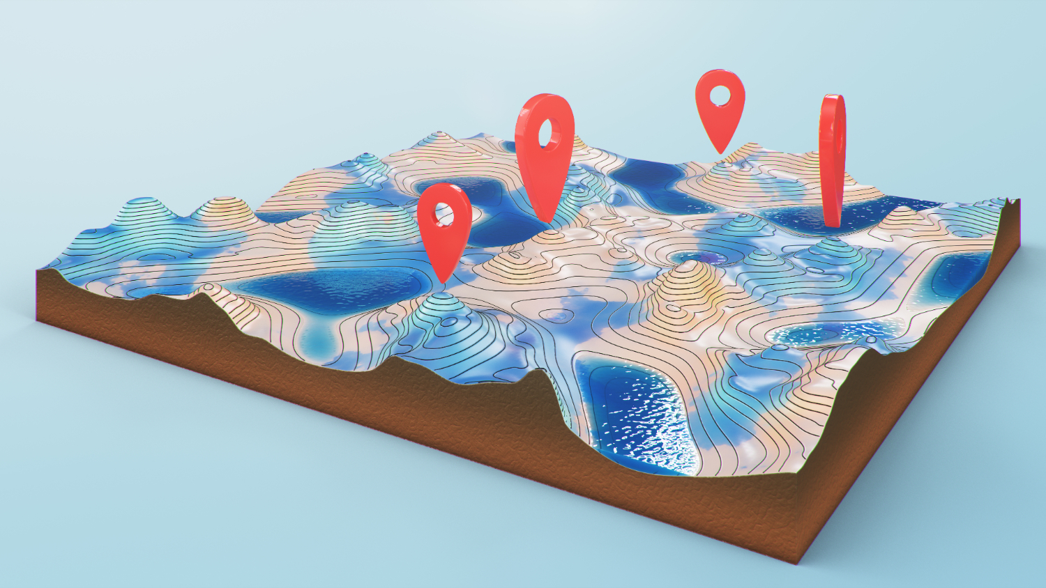
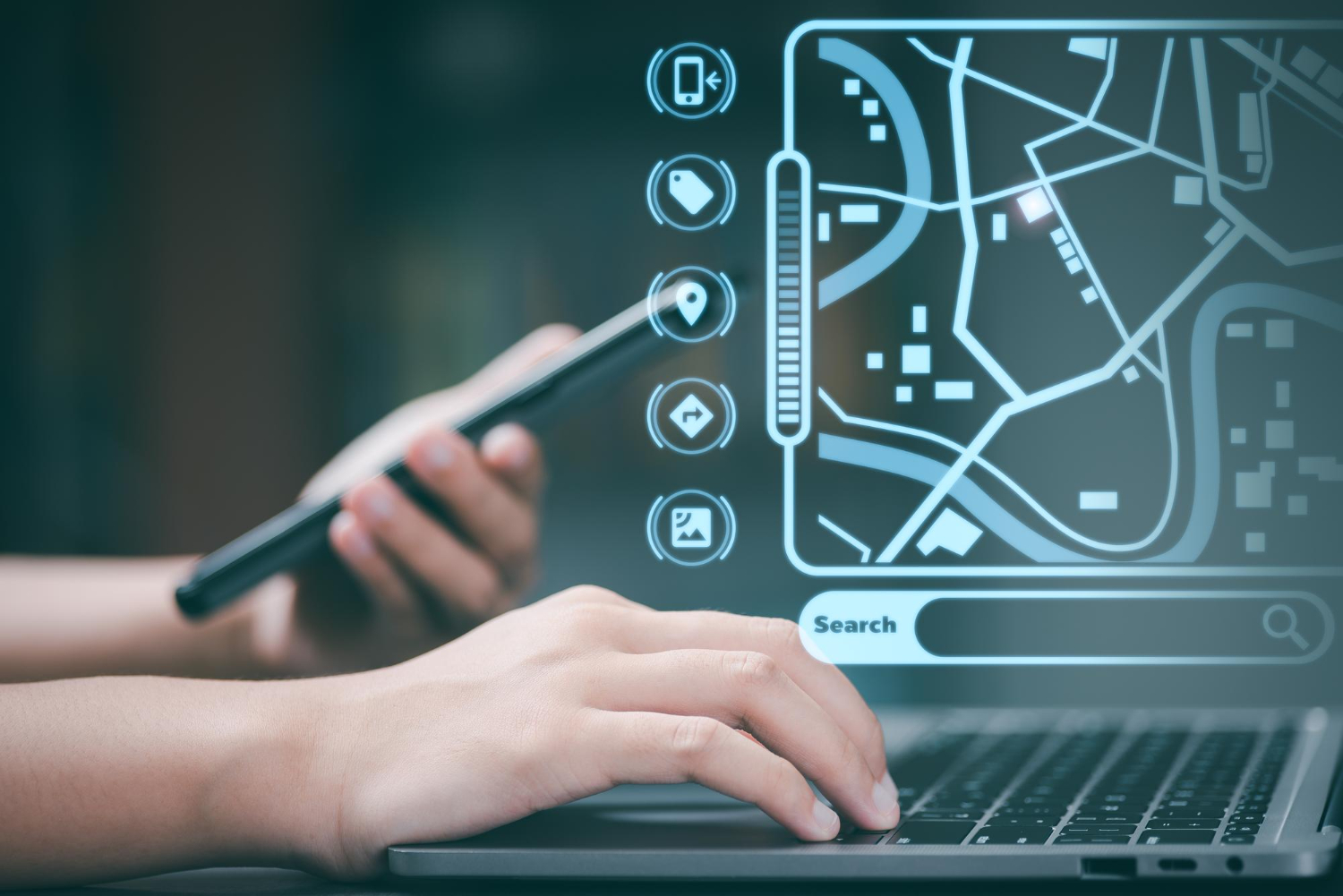
Geographic Information System (GIS) technology has been around for several decades, and it has revolutionized the way we view, analyse, and use geographic data. It is very powerful for managing, analysing, and visualizing spatial data. GIS has evolved significantly in recent years with the introduction of new technologies such as cloud computing, machine learning, and big data analytics. This blog discusses some of the new developments in GIS, the scope of GIS, types of analytics, and future prospects.

New Developments in GIS

In recent years, GIS has seen significant advancements that have transformed the way we collect, manage, analyze and visualize geospatial data. Cloud computing has allowed for more flexible and scalable GIS solutions, while mobile GIS has enabled field workers to access and update geospatial data on-the-go. Machine learning algorithms are being used to extract meaningful insights from large datasets, and big data analytics is helping us to better understand and predict spatial patterns. Additionally, drone-based GIS is revolutionizing data collection, allowing for high-resolution aerial imagery and 3D modelling. Together, these developments are expanding the possibilities for GIS applications across various industries and sectors. Following are the few technologies which are helping GIS technology to accelerate further:

  • Cloud Computing: Cloud computing has transformed the way GIS is used by making it possible to store and analyse large amounts of spatial data in the cloud. Cloud computing has also made GIS more accessible to a wider audience, with the advent of cloud-based GIS platforms such as ArcGIS Online, Carto, and Mapbox.


  • Mobile GIS: Mobile GIS technology has been around for some time, but recent developments in mobile technology have made it possible to take GIS data into the field, allowing users to collect and update data in real-time. Mobile GIS technology is particularly useful for fieldwork, such as environmental monitoring, asset management, disaster response, and infrastructure maintenance.


  • Machine Learning: Machine learning is a type of artificial intelligence that enables computers to learn from data without being explicitly programmed. GIS is now incorporating machine learning algorithms to analyse large amounts of spatial data quickly and accurately, allowing for the identification of patterns, trends, and anomalies.
  • Big Data Analytics: With the increasing availability of data from various sources, such as satellite imagery, social media, and sensors, GIS is now using big data analytics to extract meaningful insights from large datasets. Big data analytics has also made it possible to integrate GIS with other data sources, such as business intelligence and customer data.
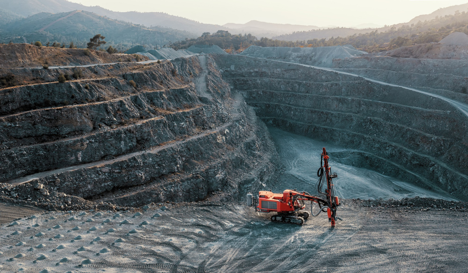
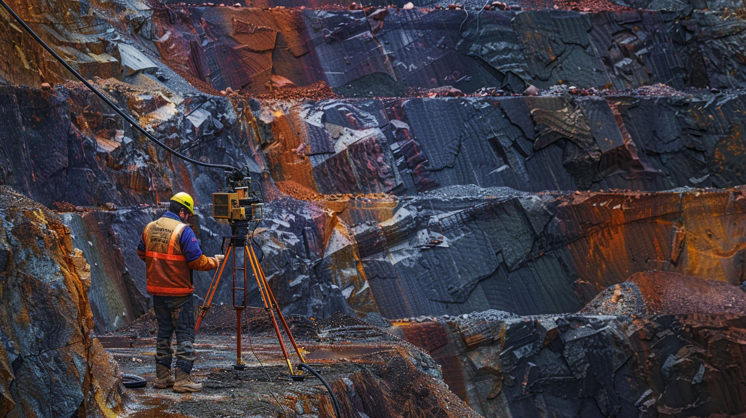
  • Drone-based GIS: Drones equipped with high-resolution cameras and sensors can capture detailed spatial data that was previously impossible to obtain. Drone-based GIS can be used in industries such as agriculture, mining, construction, and environmental monitoring.


Scope of GIS

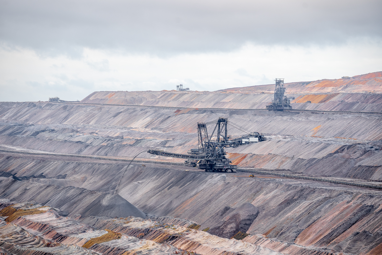
GIS technology is helping various sectors including environmental management, urban planning, and mining. For environment management, GIS is used to track and monitor changes in land use, water quality, and air pollution, while Mobile GIS allows for on-the-go data collection and cloud computing enables real-time collaboration. Machine learning and big data analytics are used to analyze complex environmental data, improving decision-making. In urban planning, GIS allows for the analysis of population distribution, land use, and infrastructure planning. In mining, drone-based GIS provides high-resolution imagery and 3D modelling, while mobile GIS enables  data collection in the field, and machine learning and big data analytics help to locate and assess mineral deposits.

GIS has a wide range of applications across many industries, including:

  1. Environmental Management: GIS is used for environmental monitoring, natural resource management, and conservation planning. GIS is used to map ecosystems, monitor biodiversity, and track the movement of wildlife.
  2. Urban Planning: GIS is used in urban planning to map land use, zoning, transportation networks, and utilities. GIS is used to analyse population demographics, predict growth patterns, and identify areas at risk of flooding or other natural disasters.


  1. Public Health: GIS is used in public health to track disease outbreaks, monitor the spread of diseases, and analyse healthcare needs. GIS is used to map healthcare facilities, track patient data, and analyse health trends.
  2. Emergency Management: GIS is used to prepare for and respond to disasters in emergency management. GIS is used to map hazards, identify vulnerable populations, and plan evacuation routes.
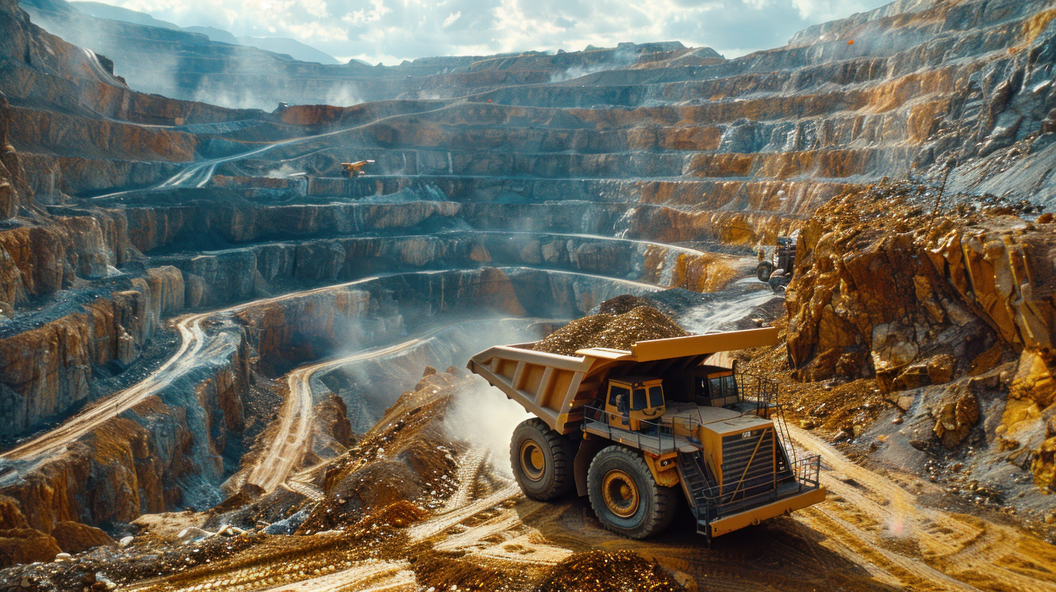
  3. Mining: In the mining industry, GIS is used to manage mining operations, monitor environmental impact, and optimize mineral extraction. GIS is used to map geological features, track mineral reserves, and manage mining permits.


  1. Marketing: GIS is used in marketing to identify target audiences, analyse market trends, and optimize advertising campaigns. GIS helps to map consumer behaviour, analyse spending patterns, and identify new markets.
  2. Retail: In the retail industry, GIS is used to optimize store locations, analyse foot traffic, and manage supply chains. GIS is used to map consumer demographics, predict sales patterns, and optimize inventory levels.


  1. Fleet Management: GIS is used in fleet management to optimize routes, reduce fuel consumption, and improve safety. GIS is used to track vehicle location, monitor driver behaviour, and analyse traffic patterns.


Types of GIS Analytics

GIS analytics is a vital component of GIS technology that allows for the extraction of meaningful insights from geospatial data. Together, the below GIS analytics tools provide powerful insights that help decision-makers to better understand spatial patterns and make more informed decisions.

  1. Spatial Analysis: Spatial analysis is the process of examining spatial data to identify patterns, trends, and relationships. Spatial analysis includes techniques such as clustering, interpolation, and spatial regression.
  2. Network Analysis: Network analysis is the process of analysing transportation networks, utility networks, and other types of networks. Network analysis includes techniques such as shortest path analysis, travel time analysis, and network optimization.
  3. Predictive Analytics: Predictive analytics is the process of using historical data to make predictions about future events. Predictive analytics includes techniques such as regression analysis, time-series analysis, and machine learning.


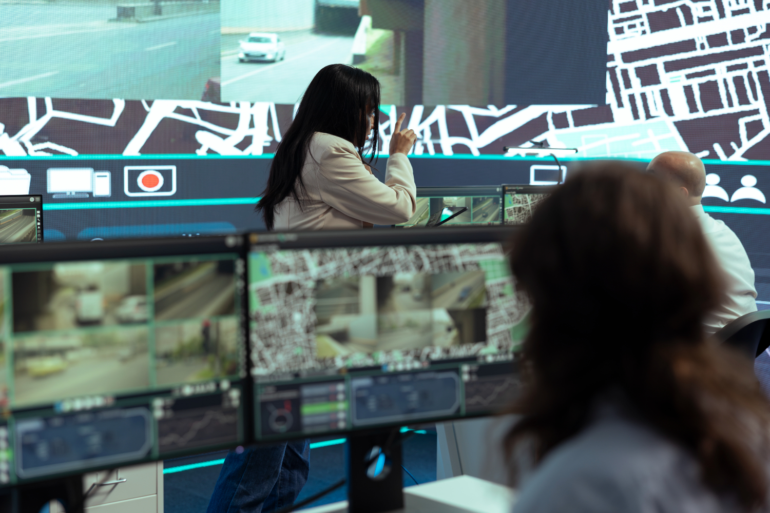
  1. Real-time Analytics: Real-time analytics is the process of analysing data as it is generated. Real-time analytics is used in applications such as environmental monitoring, traffic management, and disaster response.
  2. Image Analysis: Image analysis is used to analyse satellite imagery, aerial photography, and other types of imagery. Image analysis tools in GIS can be used to detect changes in land cover, identify land use patterns, and monitor environmental change.

The Evolving Landscape of GIS

GIS technology has come a long way since its inception, and its development shows no signs of slowing down. The combination of new technologies such as cloud computing, machine learning, and big data analytics has made GIS more powerful and accessible than ever before. GIS has a wide range of applications across many industries, and its potential for future growth is huge. As GIS technology continues to evolve, it will undoubtedly lead to new and innovative ways of managing, analysing, and visualizing spatial data.

Some of the future prospects for GIS technology are:

  • Increased integration with IoT: GIS is likely to become more integrated with Internet of Things (IoT), which will enable real-time data collection and analysis. This integration will allow GIS to track and analyse data from a variety of sources, including sensors, mobile devices, and social media.
  • Increased use of Machine Learning: Machine learning algorithms are expected to become more prevalent in GIS applications, as they enable faster and more accurate analysis of large datasets. Machine learning will be used for tasks such as image classification, pattern recognition, and predictive modelling.
  • Greater use of Virtual Reality: Virtual reality (VR) technology is likely to become more integrated with GIS, allowing users to visualize and interact with spatial data in new ways. VR will be used for applications such as urban planning, environmental monitoring, and education.


  • Expansion of Cloud-based GIS: Cloud-based GIS platforms will continue to expand, allowing more organizations to access GIS technology without the need for expensive hardware and software. Cloud-based GIS will enable greater collaboration, data sharing, and analysis.
GIS technology is a powerful tool for managing, analysing, and visualizing spatial data. It has a wide range of applications across many industries. The combination of new technologies such as cloud computing, machine learning, and big data analytics has made GIS more powerful and accessible than ever before. As GIS technology continues to evolve, it will undoubtedly lead to new and innovative ways of managing, analysing, and visualizing spatial data. The future of GIS is exciting, and its potential for future growth is vast.

DIGITAL DYNAMISM – THE NEED OF THE HOUR

Olympics Motto “Faster, Higher, Stronger – Together” inspires me while writing this article on Digital Dynamism. Olympics is an event that symbolizes unity and exuberance of the human spirit.

This is the same Olympic spirit which is needed for the organizations to adapt digital technologies and transform the consumer experiences with sustainable innovations in harmony with nature.

The term Faster would refer to agility of the organizations to improve and develop continuously. This could be improving faster time to market, scaling production capabilities, expanding the businesses into new horizons etc.

Higher would refer to organization’s vision for ethical business practices and quality standards and productivity with a process-centric approach involving rich data collection, data-driven customer insights and business intelligence.

Stronger represents organization’s performance through market and talent access and effective resource management. It can also connect with company’s IT infrastructure, data security and IP protection.

The term Together brings in the value of greater collaboration across the organization as well as extended organization involving suppliers, partners, consultants and importantly the consumers.

Digital Dynamism carries the Olympic spirit in achieving unparalleled excellence focusing on sustainable innovations imbibing digital cultureActors using the digital experience platforms can access latest and up-to-date information/ data on any device, anywhere and at any time. Key enablers like cloud technologies, industrial IoT, artificial intelligence fueled automations, machine learning and data analytics would play a pivotal role in bringing digital dynamism to the organizations.

In the manufacturing arena, digital dynamism can be perceived through IIoT and cyber physical systems’ enabled shop floors gathering critical data on the product, process and resources (machines, equipment and operators) leading to predictive analytics and maintenance. OEE (Overall Equipment Effectiveness) can be easily tracked and monitored for higher manufacturing productivity.

Finally, digitally skilled workforce can bring in the dynamic transformation in every industry segment improving the product, nature and life.

Dassault Systèmes’ 3DEXPERIENCE Platform is a digital experience platform for the organizations which helps in reimagining the products and experiences, and rethink business processes and operations. It connects people, ideas, data and solutions in a single collaborative environment empowering business – from start-ups to large enterprises, to innovate, produce and trade in entirely new ways. 

The platform acts as a single version of truth to anchor outcome-based processes and capture all activities in one place. It securely connects individuals, teams, departments and external collaborators working together to transform ideas into innovative products, services and experiences.

For more details on digital dynamism and digital experience platforms, please write to info@edstechnologies.com or marketing@edstechnologies.com


Leverage the power of 3DEXPERIENCE platform

The 3DEXPERIENCE platform from Dassault Systemes is a business platform that provides organizations with a holistic, real-time vision of their business activity and ecosystem. It connects people, ideas, data, and solutions in a single collaborative environment empowering industries, from startups to large enterprises, to transform, produce and trade in entirely new ways. It provides access to multiple CAD, CAM, CAE, PLM applications, and many more on a single platform. This is an entirely scalable platform in multiple dimensions. It is available on the premise & the cloud. It has a unified user interface so that users with knowledge of one module can learn and adopt other modules with less effort in adoption and the learning curve. It Improves Overall Product Design and Development Processes.

  1. It helps in real-time concurrent engineering- Several designers from multiple locations can collaborate & design simultaneously on the same data. There is no need for an intermediate release or version. Parallel design tasks are possible. It enables real-time collaboration for design work and shortens the design cycle time.
  2. Dashboarding capability for social collaboration – Helps to manage projects, variants, design changes, share ideas and concepts with 3Dswim communities. It enables to organize unstructured information in structured way.
  3. Easy on cloud platform management – No more complex IT tasks to manage Project, People & Data. It is a simple client software installation and is very easy to invite new collaborators to engage in the platform.
  4. Large Assembly management – Multiple options for large data management. It has capacity to manage large and multi-site data connecting multiple contributors and reviewers.
  5. 3D Search capability – Enhanced 3D Search capabilities for fast data searching. There are options for multiple bounding box queries and capability for large and multisite data search.
  6. Real time Visualization & Ambient Occlusion – CATIA 3DEXPERIENCE delivers natively high-end visualization. There is need for only fewer physical prototypes. It enables team reviews for accurate decisions. It offers advanced level of shadow rendering for high quality visualization. This ensure better design as it is closer to reality.
  7. Parallel Design and session refresh- Update CATIA session dynamically to reflect concurrent changes in 3D.
  8. Natural Shape – Create or edit any geometry rapidly without the need to know the original part structure. The group of elements will behave as features. There is capability to edit directly imported IGES or STEP geometry. The natural modeling editor enables early prototyping of ideas.
  9. 3D Text Creation – Ability to create text in 3D, which was not possible in V5. The new feature also enables creation of associative 3D sketch of complex shapes. These help to create lifelike 3D Mechanical Design in 3D for engraving and embossing.
  10. Natural Assembly – Navigate & edit your product structure in 3D, create products & subproducts, Rearrange the structure, Insert & position components, automatically create engineering connections with smart positioning, reuse assembly definition to create kinematic mechanisms.
  11. Kinematic Mechanisms in Assembly – Engineering connections can be created from assembly constraints, define the kinematic behavior while defining assembly, joints are maintained when the components are moved in product structure, engineering connections leverage the PLM integration, fastening, interference checking, FEA. It is possible to define kinematics with multi-level mechanisms.
  12. 3D Pattern Definition – Ability to pattern in 3D Assembly components. It enables to define complex 3D patterns from set of axis systems. The 3D pattern includes assembly feature impact and covers canonical shapes- linear, circular, rectangular.  
  13. Dynamic experience of mechanical products – Perform physically accurate simulations with forces, inertia and gravity. Contacts can be created with restitution/friction parameters.


Evolution of Geospatial technology and emerging trends in the industry

A few years back, if you had to travel from point A to point B and had never been to that area, you had to depend on the local people for directions. A few would know the exact direction. Depending on how busy they were, they directed you to your required destination. Sometimes they may also misguide you. You might have also traveled to a remote area where no one is around to help get the direction. What would you have done in such a scenario? Fortunately, remote sensing and GIS have come up with innovative techniques and methodologies that have enabled us not only to pinpoint your location but also to find the best route to your required location. This is just one example of the use of GIS technology. GIS now helps us to manage our day-to-day activities, and we are totally dependent on it. Did this happen overnight? No. Like other technologies, GIS also had its evolution. Academic institutes and governments first started using computer aided system to create and analyze geographical datasets. Progressively people got involved in data creation, analysis, and software development. Numerous geographers, planners, computer scientists, and others from many fields came together to create the first visualization and spatial analysis software. ESRI, one of the well-known companies, was established in 1969 to help land use planners and land resource managers to make informed decisions. GIS has come a long way since it was first used in the 1960s.

Today, GIS technology is used in various industries for decision making. ESRI is one of the largest and oldest companies which is providing end to end GIS solutions for industries viz Mining, Retail, Agriculture, Architecture, Engineering, and Construction, Asset Management, Financial Services, Insurance, Logistics and Distribution, Real Estate, Utilities, Aviation, Natural Resources, Forestry, Petroleum, Renewables, Telecommunications, Transportation etc.

Though multiple open-source GIS software exists, ESRI provides users with the most advanced, user-friendly GIS platforms. Due to its simplicity, learning ArcGIS is very quick. In contrast, open-source software takes a lot of time to understand processes. ArcGIS allows you to understand your data more intuitively. Various important spatial datasets are made available through the living atlas and Indo-ArcGIS. These datasets are not readily available anywhere else. One can easily import these datasets into ArcGIS platforms for desired analysis.

ArcGIS also has various readily available robust tools that do not need separate installations (plugins). ArcGIS model builder allows building models to reduce the processing time for iterative processes. ArcGIS provides Arc Scene and Arc Globe for 3D visualization and data processing. One can easily import data from ArcMap to Arc Scene on the fly. It is easy to create and share maps through ArcGIS online. Even previously created maps in ArcMap can be published as web maps through ArcGIS online. Using these maps, one can also create story maps. We can narrate the story using text, maps, and multimedia, making it attractive and easily understood by the audience.

ArcGIS provides industry specific robust geoprocessing tools for fast and easy analysis. Using a business analyst tool, a retail company can easily find locations of their potential customers, check market penetration, and focus on expansion in that area. Using image processing tools such as change detection, one can find the pixel level changes or the Matic changes in Land Use Land Cover in a few clicks. This tool provides statistics such as the conversion from one class to another or several other specified classes. These tools are very user friendly and intuitive, so a new user can use them without much guidance.

Meanwhile, ESRI provides self-paced web-based training for beginners and experts. ESRI offers in-depth documentation on how to use tools and delivers sample data for you to get hands-on experience. The training and software updates for open-source software are often not structured well.

ESRI provides end-to-end solutions. For example, it provides platforms for data collection, manipulation, and presentations. These apps/tools are interlinked and updated in live. Hence, as soon as data is updated by field staff using Field collector or Survey123, it gets updated on online maps. The data can also be published in dashboards, story maps, and even ArcGIS hub (where you can create your websites).

As soon as you install a particular solution, all the relevant tools and apps get installed in your system, which you can customize and deploy for your stakeholders. ESRI also provide APIs and SDKs for customization so organizations can develop the ESRI software/apps as per their own need.

A few of the app needs installation on a laptop/desktop. While ESRI cloud platforms such as ArcGIS online, Site Scan, ArcGIS velocity, etc. do not require installation, users can sign in and use these platforms from any computer system. ArcGIS Online is a Cloud-based software to create and share interactive web maps. Site Scan for ArcGIS is the end-to-end cloud-based drone mapping software designed to revolutionize imagery data collection, processing, and analysis. ArcGIS velocity enables users to ingest data from the Internet of Things (IoT) platforms, message brokers, or third-party APIs. It also helps users process, visualize, and analyze real-time data feeds; store these as big data, and perform fast queries and analyses.

ArcGIS Business Analyst extension helps you make smarter decisions for market planning, site selection, and customer segmentation by combining demographic, business, lifestyle, spending, and census data with map-based analytics. Business Analyst helps you identify underperforming markets, pinpoint the suitable growth sites, find where your target customers live, and share the analysis across your organization as accurate infographic reports and dynamic presentations.

ArcGIS CityEngine is a stand-alone software product that provides a design and modeling solution for efficiently creating 3D cities.

To know more about upcoming GIS technologies and to understand how to use ESRI platforms for your business, please get in touch with us at edst@edstechnologies.com

Large Assembly Management with Volatile Ghosting in 3DEXPERIENCE CATIA

When working with large assemblies, visualizing each and every component of assembly is very important in design process. Often it is tough to see all the hidden details in the large assemblies.

Thanks to the features in 3DEXPERIENCE CATIA, elements can be temporarily hidden behind or inside the model to display hidden details.

This is done with the help of Volatile Ghosting tool.

Steps to Ghost and Un-ghost objects in assembly

  • Open the assembly in Assembly Design App

  • Go the Viewsection of the action bar, click Volatile Ghosting   to activate the command.

  • Once the command is activated, move the mouse cursor over the model, press ALT+G or press ALT and scroll up mouse Parts located underneath the pointer are not visible anymore.

  • Repeat the press or scroll action to keep on hiding pointed parts.

Now, to show the temporarily hidden parts, the below steps have to be followed:

  • Press ALT + scroll down. Hidden parts reappear one by one on each scroll action.

  • HoldALT while hovering over the model, the ghosting effect is kept.
  • Leave ALTkey, the ghosting effect is gone.

By following above steps, one can hide the objects temporarily and visualize the details easily with 3DEXPERIENCE CATIA

How Companies are Adapting to the Systems Engineering Approach in the New Era of Autonomous Vehicles?

ADAS (Advanced Driver Assistance System) technology is gaining traction across the globe as we look forward to Highly Automated Vehicles (Hands Off, Eyes Off – Conditional Automation & Hands Off, Mind Off – High Automation) and Autonomous Vehicles (Driver Off) with respect to Transportation and Mobility.

Several experiments are going on in the space of UAV, UGV, UUV and USV to bring a new era in the field of Autonomous Vehicles. There are several challenges to address the Automated Vehicle solutions with respect to traffic jams, auto pilot, highway auto pilot, urban auto pilot, self-driving. Some of them are listed below:

  • How to sense the environment?
  1. Which sensor to be selected keeping in mind the safety and cost factors?
  2. Positioning of sensors impacting the weather conditions
  • Communication between Humans and Machines
  • Integration of Electrical/Electronic Architecture by making Vehicle centralization requires Big Data from sensors and cloud
  • Adaption of Vehicle Charging and its infrastructure
  • Remote Control of the Autonomous Vehicle
  • Collision avoidance with other Smart Systems
  • Safety alerts for pedestrians
  • Alerts for real time traffic, road conditions and so on…

Most of the companies are looking for an integrated platform to manage the entire data namely Mechanical, Fluid, Electrical and Electronics with a Model Based Approach.

To address the above challenges, Dassault Systèmes has come up with a solution on how the Systems of Systems, Cyber Physical Systems and its Sub Systems can be integrated.

To manage the entire Systems, System of Systems and its Sub Systems, there should be a seamless integration. 3DEXPERINCE platform from Dassault Systèmes not only addresses the challenges of integration, it also addresses the Real time Monitoring challenge by having a Virtual Twin of an entire Assembly of a Vehicle or an Aircraft or complete Factory as well.

It eases the workflow to have a First-Time Right-Information along with possibility of successful Technologies to validate virtually with respect to Model Based Systems Engineering.

The below picture indicates how detailed up stream and downstream thinking processes take place from OEM to suppliers and the different disciplines involved from different domains which needs to communicate with each other.

trends1

For any autonomous vehicle, camera, radar, sonar and lidar are essential which SENSE the environment through SENSORS and process the data through Software Applications like Apps, BSW, OS. Computing & Load Balancing are done through Processors, ECU’s, GPU’s which will COMMUNICATE with Humans and Machines through Communication Protocols & Cyber Security (Cables & Wires, Wireless Communication) and Human Machine Interface (Head Up Display, Voice, LED’s) which Act (Power, Move, Sound, Heat, Cool) using Actuators (Mechatronic Parts) and Power Management (Power & Battery).

The above process consists of lots of sensor-based applications, software applications, mechatronics applications which needs to communicate very strongly in the R&D Phase of any product and it is very critical to have a virtual testing before moving to real testing so as to achieve the “right” design for the first time.

The validation and digitilization of some areas are very critical as they play a major role in the emerging technologies:

  1. As electronics is transforming the automotive experience, it is always important to manage the electronics signal & power integrity workflow to be maintained digitally by capturing the requirement, schematic capture/ component placement, circuit simulation, pre-layout simulation SI/PI, post layout simulations after importing, EMC compliance check.

As the compliance for any new emerging technologies will play a key role, Dassault Systèmes through 3DEXPERIENCE Platform is offering Industry Process Experiences to address these challenges.

  1. There is a need to have a full traceability for all the functional, logical, physical requirements with respect to validation, testing and communication for which performance driven architecture process available in 3DEXPERIENCE will help to streamline the processes.
  • EV technology poses lots of challenges to the R&D department to prove the concepts. This requires complete behavior modelling and multi-scale/multi physics simulations of aerodynamics, structure, ride & handling. These can be validated using 3DEXPERIENCE On Cloud solutions from Dassault Systèmes.
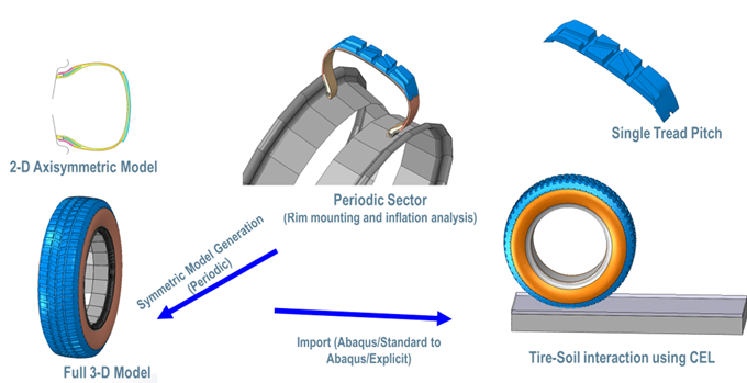
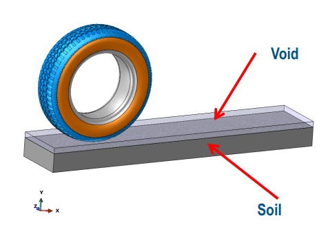
  1. ADAS/AV sensor design & placement virtual validation is very important as all the modern cars come with complex electronic systems on four wheels. OEMs (and suppliers) are responsible for compliance/ electromagnetic compatibility, reliability, safety and comfort which 3DEXPERIENCE Platform provides by having a digitalized workflow of sensor modelling with antenna array design, EMAG field simulations, soil performance simulations and so on.
  2. Vehicle antenna design displacement plays a vital role in ADAS technology to find the optimized antenna placement and vehicle shapes based on KPI’s.
  3. There is a possibility of validating the design and get experienced in immersive environment through VR for the design reviews through the 3DEXPERIENCE platform.


With the automotive industry shifting gears to autonomous vehicles and many start-ups venturing into this segment, EDST is proud to have played a significant role in business transformations with proven industry solutions and applications. To experience the seamless integration with the 3DEXPERIENCE platform, do contact our consultants at marketing@edstechnologies.com

Subscribe to our newsletter

Get all the latest information on Events, Sales and Offers.