Additive Manufacturing for Medical Device Manufacturing

In the rapidly evolving landscape of additive manufacturing (AM), commonly known as 3D printing, this technology has emerged as a transformative force, revolutionizing various industries. Healthcare stands at the forefront of this revolution, leveraging the advanced capabilities of AM to enhance patient care and improve medical outcomes. This cutting-edge technology is revolutionizing the way medical devices are designed, manufactured, and utilized, offering unprecedented possibilities for personalized implants and surgical tools, complex geometries, and rapid prototyping. Let’s delve into the significant impact of additive manufacturing on medical devices and the benefits of using AM in medical field applications.  


What is Medical Additive Manufacturing 

Medical additive manufacturing (AM) is the process of creating medical devices and structures using computer-aided design (CAD) and advanced 3D printing techniques. A digital model is sent to a 3D printer, which constructs the object by building up layers of material. Depending on the desired properties of the final object, the printer can use a variety of materials such as polymers and metals. 

Medical AM offers several advantages over traditional manufacturing methods, including the ability to create complex geometries, reduce patient wait times, and enhance surgical accuracy. This technology enables the precise fabrication of patient-specific prosthetics, orthopedic implants, leading to improved patient outcomes and shorter surgery times. By constructing objects layer by layer, additive manufacturing provides unparalleled design flexibility and rapid prototyping, making it an invaluable tool in advancing medical treatments and innovations. 


Personalized Medical Devices 

One of the most profound advantages of additive manufacturing in the medical field is its ability to produce patient-specific devices. Traditional manufacturing methods often rely on standardized sizes and shapes, which may not perfectly fit every patient. However, with AM, medical professionals can create custom implants, prosthetics, and orthotics tailored to an individual’s unique anatomy. This personalized approach enhances the comfort, functionality, and overall outcomes for patients. 
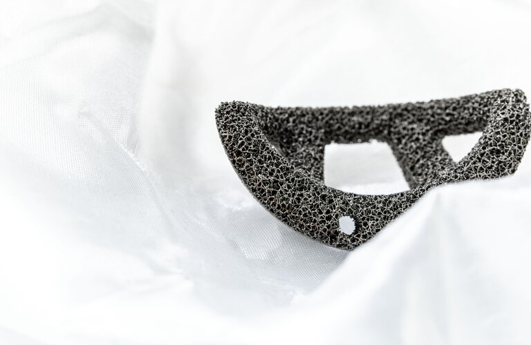
For instance, in orthopedic surgery, customized implants designed using 3D printing technology can significantly reduce the risk of complications and improve the integration with the patient’s bone structure. Similarly, in dentistry, 3D-printed crowns, bridges, and dentures offer a perfect fit, ensuring better oral health and aesthetics. 


Complex Geometries and Innovative Designs 

Additive manufacturing allows for the creation of intricate and complex geometries that are often impossible or extremely challenging to achieve with conventional manufacturing techniques. This capability opens new avenues for innovative medical device designs that enhance functionality and performance. 

For Example, Cranial implants created using 3D printing represent a significant advancement in medical technology, offering customized and precise solutions for patients with skull defects or injuries. This innovative approach allows for the production of patient-specific implants that perfectly match the unique contours of an individual’s cranial anatomy, ensuring better integration and improved outcomes. By utilizing biocompatible materials and advanced imaging techniques, 3D-printed cranial implants not only enhance the aesthetic and functional aspects of reconstruction but also reduce surgery time and associated risks, paving the way for more effective and personalized medical treatments. 


Rapid Prototyping and Accelerated Development 

The iterative nature of additive manufacturing significantly accelerates the development process of medical devices. Rapid prototyping allows designers and engineers to quickly produce and test multiple iterations of a device, making necessary adjustments in real time. This agility reduces the time and cost associated with bringing new medical devices to market. 
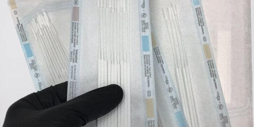
During the COVID-19 pandemic, the agility of 3D printing enabled the rapid production of essential medical supplies, such as ventilator components, face shields, and nasal swabs. This swift response highlighted the critical role of additive manufacturing in addressing urgent healthcare needs, demonstrating its potential to adapt quickly to unexpected challenges and provide vital support in times of crisis. 


Cost-Effective and Sustainable Solutions 

Additive manufacturing offers cost-effective solutions by minimizing material waste and reducing the need for extensive tooling and molds. This efficiency translates to lower production costs, making advanced medical devices more accessible and affordable. Additionally, the ability to produce devices on-demand reduces inventory costs and the need for large storage spaces. 

 Furthermore, the sustainability of additive manufacturing cannot be overlooked. The technology’s precision reduces material waste, and the use of biocompatible and biodegradable materials aligns with the growing emphasis on environmentally friendly practices in healthcare. 


Conclusion 

Additive manufacturing is undeniably reshaping the landscape of medical device printing, offering unprecedented opportunities for personalized, innovative, and cost-effective solutions. As this technology continues to advance, it holds the potential to revolutionize healthcare by improving patient outcomes, accelerating device development, and fostering sustainable practices. Embracing the possibilities of additive manufacturing, the medical industry stands at the forefront of a new era in healthcare innovation. 

GIS in Retail

In the dynamic retail landscape, precise data analysis and strategic planning are paramount. Geographic Information Systems (GIS) have become indispensable tools, empowering retailers to make informed decisions, optimize operations, and maintain a competitive advantage. 

By harnessing the insights gleaned from location data, retailers can conquer new markets, optimize store footprints, streamline logistics, and gain a significant competitive edge. From identifying prime real estate for new stores to understanding customer behavior patterns, GIS empowers data-driven decision-making at every level of the retail operation. 


New Territory Expansion 

Expanding into new territories is a critical growth strategy for many retailers. GIS technology facilitates this process by providing detailed spatial analysis and demographic data. Retailers can identify potential markets by examining population density, income levels, consumer behavior patterns, and existing retail footprints. This enables businesses to strategically target areas with the highest growth potential, reducing the risks associated with expansion and ensuring a higher return on investment. 


Optimal Store Location 

Choosing the right location for a new store can significantly impact its success. GIS technology allows retailers to analyze various factors such as foot traffic, proximity to competitors, accessibility, and local demographics. By visualizing these elements on a map, retailers can identify prime locations that maximize visibility and attract the target customer base. This data-driven approach helps in making informed decisions that lead to profitable and sustainable store placements. 


Supply Chain and Logistics Planning 

Efficient supply chain and logistics planning are crucial for maintaining a competitive edge in retail. GIS technology enables retailers to optimize their supply chain networks by analyzing transportation routes, warehouse locations, and delivery zones. By visualizing the entire supply chain on a map, retailers can identify bottlenecks, reduce transportation costs, and improve delivery times. This ensures that products are always available on the shelves, enhancing customer satisfaction and loyalty. 


Market Research and Competitor Analysis

Staying ahead of the competition requires a deep understanding of the market landscape. GIS technology aids in conducting comprehensive market research by aggregating data on consumer preferences, spending patterns, and market trends. Retailers can also perform competitor analysis by mapping the locations of rival stores and analyzing their market share. This information allows businesses to identify opportunities for differentiation, develop targeted marketing strategies, and gain a competitive advantage. 


Conclusion

Incorporating GIS technology into retail operations offers numerous benefits, from strategic territory expansion and optimal store placement to efficient supply chain management and insightful market research. By harnessing the power of GIS, retailers can make data-driven decisions that drive growth, improve operational efficiency, and enhance customer satisfaction. As the retail industry continues to evolve, embracing GIS technology will be key to staying competitive and achieving long-term success. GIS-based tools help in drawing insights from demographic data, which reveals the relationship between location and people. 

Extended Simulation of Wind Turbines Using ABAQUS

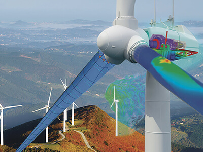
Wind turbines are pivotal in the global transition towards renewable energy systems. Accurate simulation of wind turbines using advanced finite element analysis (FEA) tools like ABAQUS enables engineers to design more efficient, reliable, and durable systems. In this blog, we will delve into the process of simulating wind turbines using ABAQUS, focusing on structural, aerodynamic, and fatigue analyses. 


Key Components of Wind Turbine Simulation 
  • Blade Analysis: Wind turbine blades endure complex loads, including aerodynamic forces, gravitational effects, and centrifugal forces. ABAQUS’ advanced material modeling capabilities are ideal for analyzing composite blades. 
  • Tower Structure: The tower must withstand wind loads and dynamic effects from the rotor. Structural stability under cyclic loads is crucial. 
  • Rotor-Nacelle Assembly: This component converts wind energy into mechanical energy. Simulation focuses on the interaction between rotating parts and the structural housing. 
  • Foundation: The foundation supports the entire structure, transferring loads to the ground. Soil-structure interaction plays a key role in ensuring stability. 


Extended Steps for Wind Turbine Simulation
  • Geometry Creation:
    • Create the geometry of the wind turbine using CAD software or directly in ABAQUS/CAE. This includes the blade, tower, rotor, nacelle, and foundation. 
    • The geometry should represent real-world conditions, incorporating precise measurements and aerodynamic designs.
  • Material Properties:
    • Assign material properties for each component. For example: 
      • Blades: Composite materials (e.g., carbon fiber reinforced polymers). 
      • Tower: Steel or other high-strength alloys. 
      • Foundation: Concrete or reinforced concrete
  • Meshing:
    • Generate a fine mesh for accurate results, particularly for critical regions like blade edges and tower connections. 
    • Use hexahedral elements for simpler shapes and tetrahedral elements for complex geometries. 
    • Perform mesh convergence studies to ensure solution accuracy.
  • Boundary Conditions:
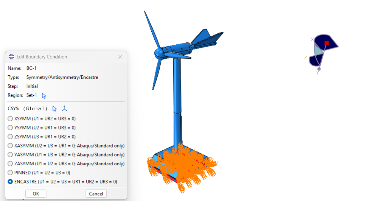
    • Fix the base of the tower to represent its connection to the foundation. 
    • Apply wind loads along the length of the blades and lateral forces on the tower. 
    • Include gravity and centrifugal forces for realistic loading conditions. 
  • Load Cases:
    • Static Loads: Simulate constant wind conditions for structural stability analysis. 
    • Dynamic Loads: Use time-varying wind loads for transient and fatigue analysis. 
    • Extreme Events: Model conditions such as gusts or shutdown scenarios. 
  • Analysis Setup:
    • Use the Static General step for structural integrity checks under steady loads. 
    • For time-dependent studies, employ the Explicit Dynamics or Implicit Dynamics solver. 
    • Include non-linear effects such as large deformations and material plasticity for blades and tower sections. 
  • Post-Processing:
    • Use ABAQUS/CAE’s visualization module to evaluate stress distribution, deformation, and vibration modes. 
    • Identify critical regions for design improvement, such as areas with high stress concentrations. 


Case Study: Blade Deformation 

Objective: 

To evaluate the deformation of a wind turbine blade under cyclic aerodynamic loads. 

Steps: 

  • Modeling: The blade was modeled with composite layups to represent real-world manufacturing processes. 
  • Loading: A cyclic wind load was applied over 1,000 load cycles.

Results: 

  • Stress concentrations were observed at the root of the blade. 
  • The fatigue analysis highlighted a potential failure region, prompting geometry and material modifications. 

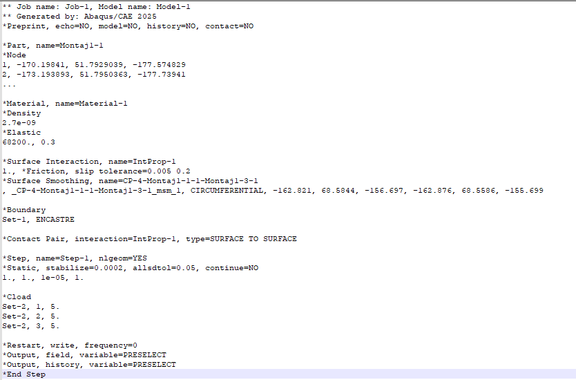
INP File for Blade Analysis 

Below is an example of a basic INP file setup for wind turbine blade analysis: 


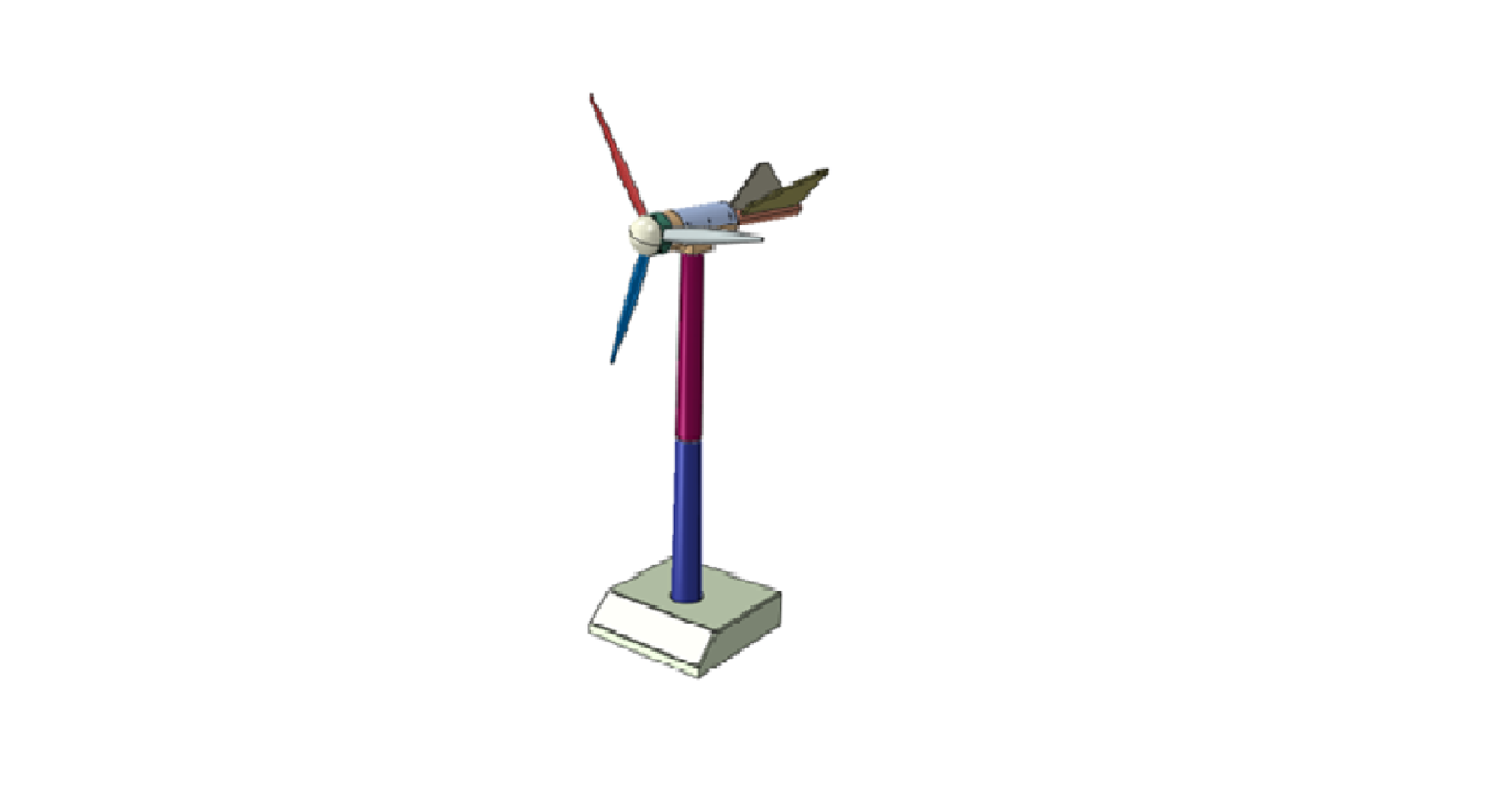
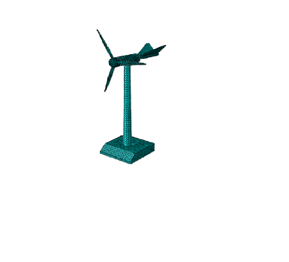
CAD, Meshed, and Result Images 

  • CAD Model of the Wind Turbine: 


  • Meshed Model: 


Conclusion 

Simulating wind turbines in ABAQUS enables engineers to refine designs for efficiency and reliability. With detailed CAD models, accurate meshing, and comprehensive analysis, engineers can optimize turbine performance and reduce failure risks. Leveraging tools like ABAQUS for wind turbine simulation is a step towards achieving a sustainable energy future.

Leveraging GIS in Forestry: Revolutionizing Forest Management

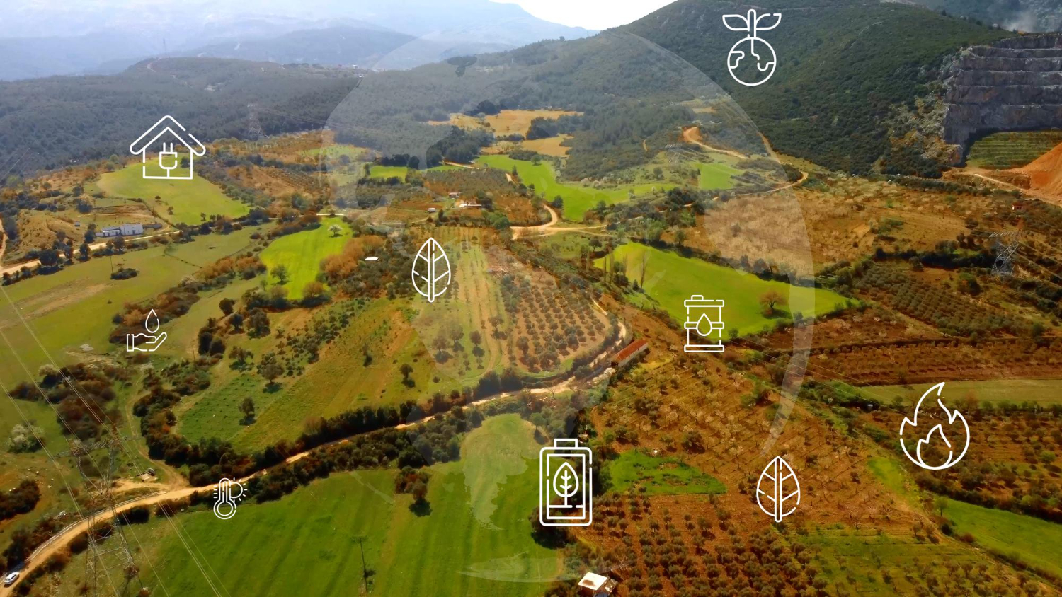
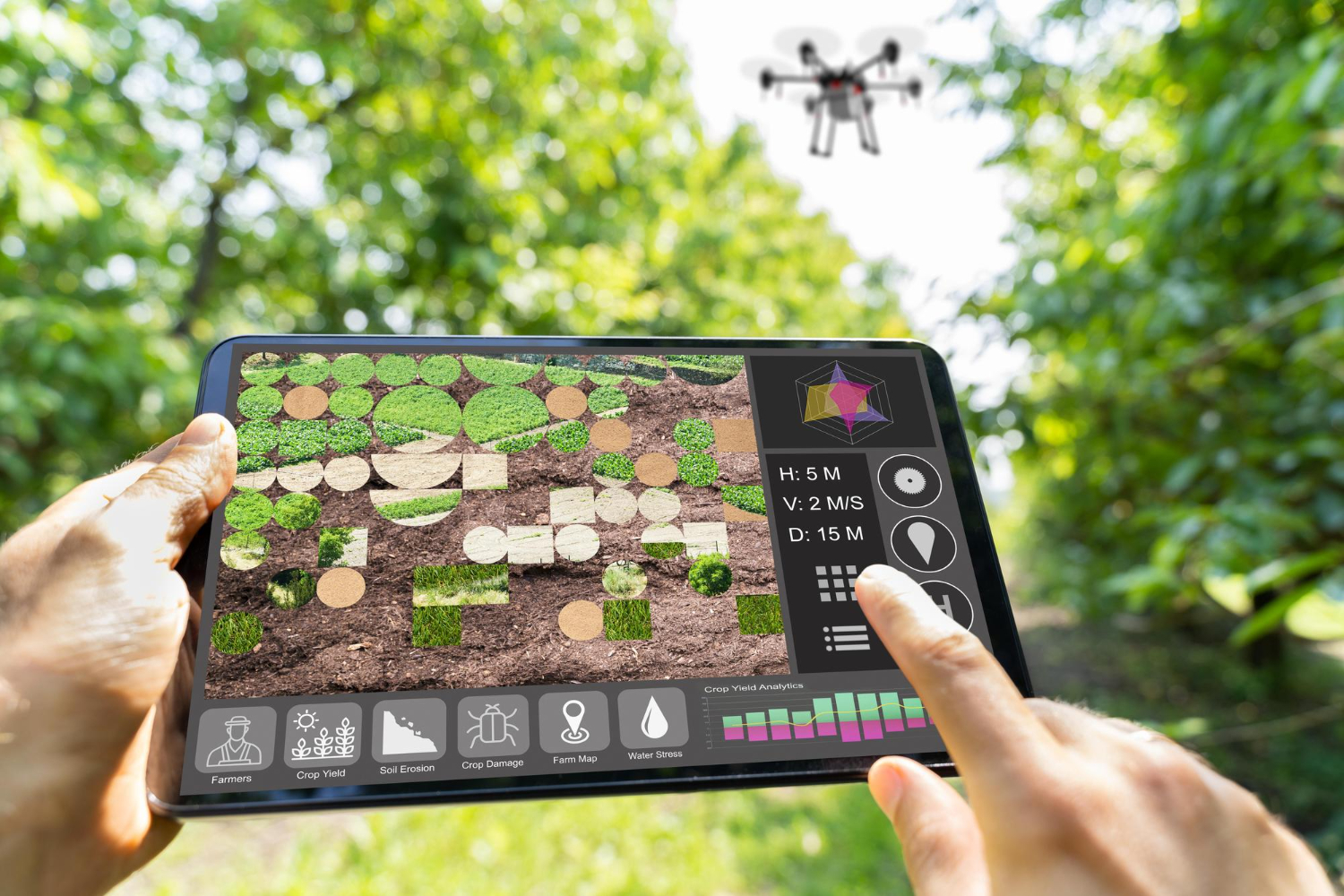
According to the India State of Forest Report (ISFR) 2021, released by the Ministry of Environment, Forests, and Climate Change, India’s total forest area constitutes 21.71% of the country’s geographical area, while the tree cover is estimated to be 2.91%. Consequently, the combined coverage of forests and trees accounts for 24.62% of the nation’s geographical area. Geographic Information Systems (GIS) have emerged as a cornerstone for effective forest management and conservation. By integrating diverse datasets and offering sophisticated spatial analysis tools, GIS empowers foresters, ecologists, and conservationists to make data-driven decisions, optimize resource allocation, and effectively address pressing environmental concerns. 


Mapping Forest Resources

GIS plays a crucial role in generating comprehensive maps that provide detailed insights into forest composition, structure, and ecological health. High-resolution satellite imagery and aerial surveys are integrated within GIS platforms to produce accurate and up-to-date forest maps. These maps enable forest managers to effectively monitor changes in forest cover over time, such as deforestation, forest degradation, and the impacts of natural disturbances like wildfires and storms.


Forest Planning and Management

Regular updates and revisions are essential to sustain forest preservation efforts and enhance green cover. The forest department leverages GIS and remote sensing technologies to improve its capabilities by providing critical input data such as forest density, forest type, and land resources. Additionally, GIS enables the inclusion of maps detailing road networks, settlements, and water bodies, facilitating the design of efficient management strategies. 


Wildfire Risk Assessment and Management

Wildfires pose a substantial threat to forest ecosystems worldwide. GIS serves as an invaluable tool for effective wildfire management by providing real-time data on fire behavior, prevailing weather conditions, and fuel availability. This critical information supports accurate predictions of fire spread, facilitates the planning and execution of fire suppression activities, and enables the strategic design of firebreaks. Furthermore, post-fire analysis conducted within a GIS environment assists in assessing the extent of damage and developing comprehensive restoration plans. 


 Forest Management

GIS and Remote Sensing technologies are essential for effective forest monitoring, allowing for the creation of detailed, digital maps of forests with irregular boundaries. Periodic updates provide accurate insights into forest changes, supporting the development of sustainable management strategies and disaster mitigation plans. Advanced satellite and drone imagery, along with techniques like False Colour Composite (FCC) and True Colour Composite (TCC), enable precise monitoring of forest coverage, with FCC enhancing features not visible to the human eye, aiding in the detection of forest cover changes. 


Habitat Mapping and Biodiversity Conservation

Forests serve as vital habitats for a diverse array of flora and fauna. GIS plays a pivotal role in habitat mapping and biodiversity conservation by enabling the identification of critical habitats and biodiversity hotspots. Through spatial analysis, GIS facilitates the assessment of habitat fragmentation, connectivity, and the impact of human activities on wildlife populations. This valuable information empowers conservationists to effectively design and implement protected areas, establish wildlife corridors, and develop comprehensive management plans that safeguard biodiversity. 


Conclusion

The integration of GIS in forestry has transformed the way forests are managed and conserved. From mapping and monitoring, planning to disaster management, GIS provides the tools and insights necessary for sustainable forest management. As technology continues to advance, the role of GIS in forestry will only become more critical, helping us protect and preserve our valuable forest ecosystems for future generations. 

By leveraging the power of GIS, we can ensure that our forests remain healthy, resilient, and productive, supporting biodiversity and providing essential ecosystem services. 

How an Efficient Geological Model Enhance Deposit Evaluation

How an Efficient Geological Model Enhances Deposit Evaluation 

Mineral Resource estimation and classification are highly dependent on the confidence in the model of the orebody geometry, known as the geological model. 

An understanding of the geology of a deposit is thus fundamental to the Mineral Resource evaluation process. The 3D geological model is a function of the structural and depositional complexity of the geology captured by drilling information, which is limited in the early stages of a project. The information effect has a significant impact in terms of the interpretation of the geology as well as the estimation of grade continuity and the resultant risk associated with the Mineral Resource estimate and classification.  

Whenever, new drilling information becomes available, it is necessary to update and refine the geological model to appropriately constrain the resource estimates. The grade information is also updated, including statistics and the spatial correlation characteristics. This refinement is based on geological interpretations derived from the drillhole information that becomes available throughout the life of the mine; orebody knowledge that comes from working experience of the deposit, as well as familiarity with the software package used for modelling, is also important.  


Transforming Geological Data into Reliable Models

There are many processes and technological availability to manage geological interoperation data, which is the key information for any exploration project. 

Geological data is the most important aspect of any technical or financial evaluation of a mineral deposit because it is key to defining the location, geometric shape, and grade of the orebody.  

This is why the mining organization invest lot of amount every year to collect new geoscience data, which is invaluable for making fresh interpretations and keeping mine models updated, and to manage, interrogate, and curate older data that can increase in value over time as new analytical technologies and interpretation methods become available. 

But just collecting comprehensive geological datasets is not enough. Once you have them, you must be able to generate accurate, reliable geological models of the subsurface. GEOVIA solutions help you visualize the geology of your site better than ever before, and test your hypothesis above ground to ensure the best possible below-ground decisions.  Effective geological data management drives operational excellence. 


Transforming Geological Data into Actionable Insights with 3D Models

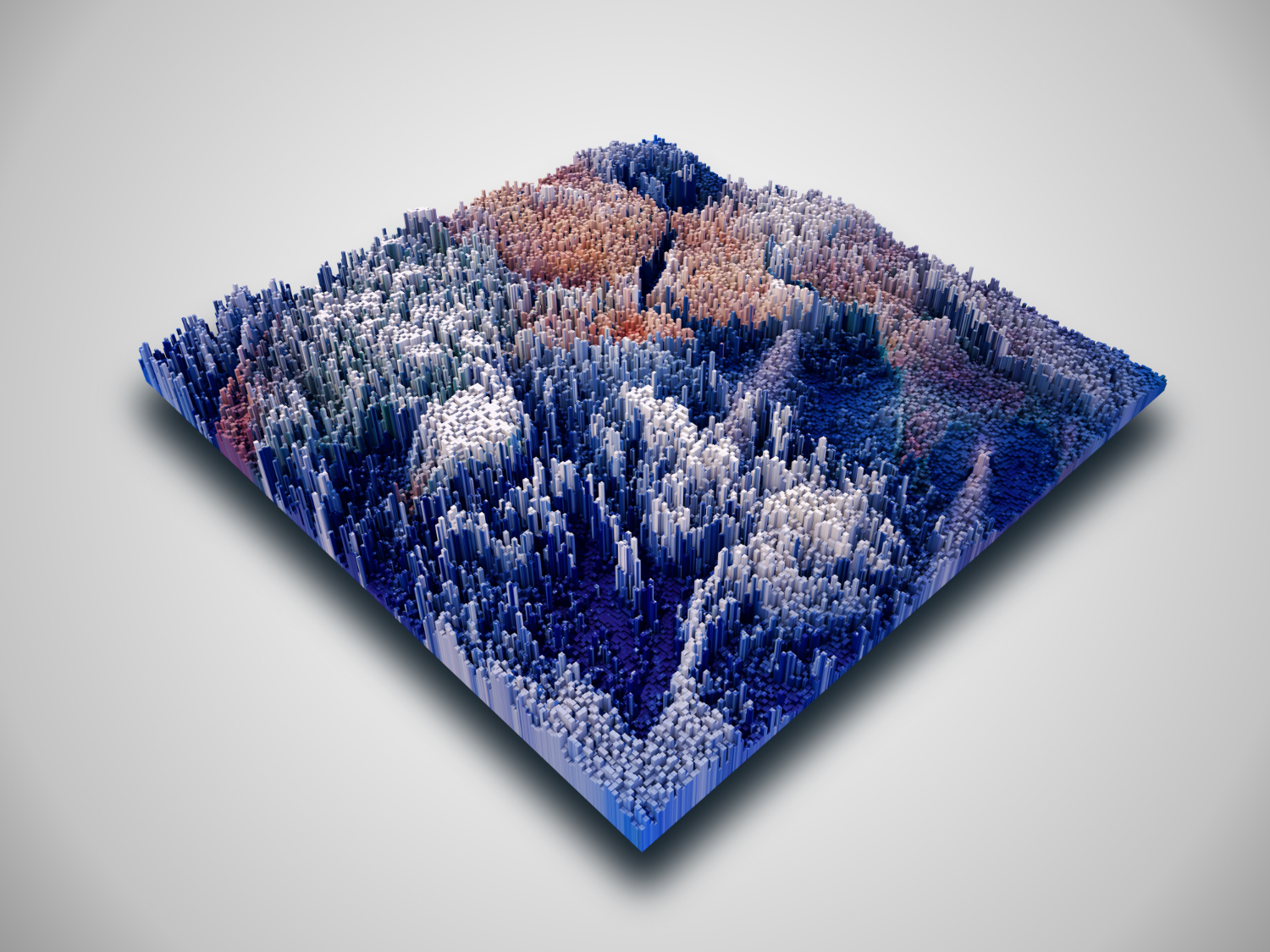
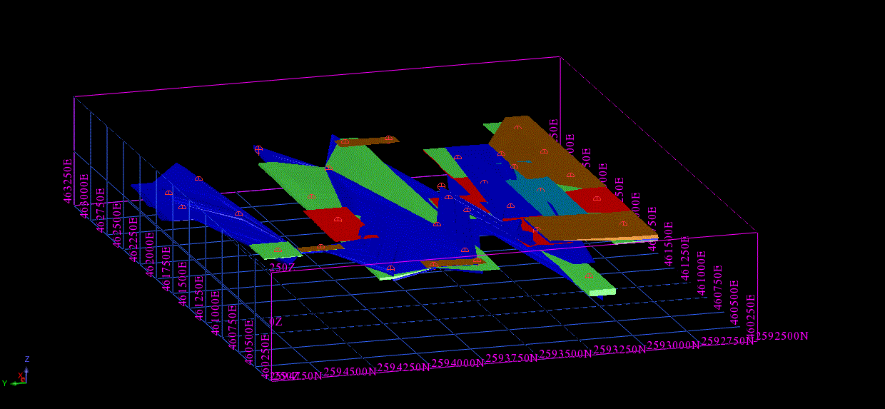
A 3D geological model is a comprehensive representation of subsurface geological structures and characteristics in a three-dimensional digital format. It integrates geological data, including drill hole information, geophysical surveys, and rock properties, to create a visual and interactive model of the Earth’s subsurface.

This model enables geologists, miners, and exploration professionals to better understand the distribution of mineral resources, geological features, and potential risks beneath the Earth’s surface. It plays a crucial role in guiding mining operations, resource estimation, environmental assessment, and decision-making processes in industries like mining, oil and gas, and environmental geology.


Geological Modeling, a Critical Process in Mining and Exploration, Typically Involves the Following Steps:
  • Data Collection and Analysis: Gathering a wide range of geological data such as drill hole logs, geophysical survey data, and geochemical analyses. This data is then analyzed to understand the geological characteristics of the area. 
  • Interpretation and Correlation: Interpreting the collected data to identify geological structures like faults, folds, and mineralized zones. This involves correlating data from different sources to create a coherent geological story.
  • Model Construction: Using specialized software, such as GEOVIA, to construct a three-dimensional model of the geology. This model integrates all the interpreted data, representing the subsurface geology in a visual and interactive format.
  • Validation and Refinement: Continuously validating and refining the model as new data becomes available. This iterative process ensures the geological model remains accurate and up-to-date, reflecting any changes or new findings in the geological understanding of the area.

Optimizing Spacecraft Performance with Abaqus: Enhancing Reliability and Efficiency in Space Missions

Technology Innovation

The space industry has always been at the forefront of technological innovation, where precision, reliability, and performance are paramount. With the increasing complexity of space missions, from satellite launches to deep space exploration, the engineering challenges are vast. One of the most critical tools for tackling these challenges is simulation, particularly Finite Element Analysis (FEA), which plays a vital role in analysing and optimizing components and systems under the extreme conditions of space.


Simulating Physical Behaviour using ABAQUS

Among the most popular simulation software in engineering, Abaqus stands out as a powerful tool for simulating the physical behaviour of structures and materials in a wide range of industries, including aerospace and space exploration. In this blog, we’ll explore how Abaqus is used for engineering simulations in the space industry, with a focus on its capabilities, applications, and the value it brings to space missions.


Simulation in Space Engineering

Engineering simulation is crucial in the space industry due to the extreme conditions spacecraft and components face. These include:

  • High levels of vibration during launch,
  • Thermal extremes, from freezing cold in space to extreme heat during re-entry,
  • Microgravity effects, which alter the behavior of materials and structures,
  • Radiation exposure, which can degrade material properties over time.


Real-World Applications of Abaqus in the Space Industry:

Abaqus has been employed in numerous applications within the space industry. Below are a few notable examples:

  • Satellite Structural Analysis

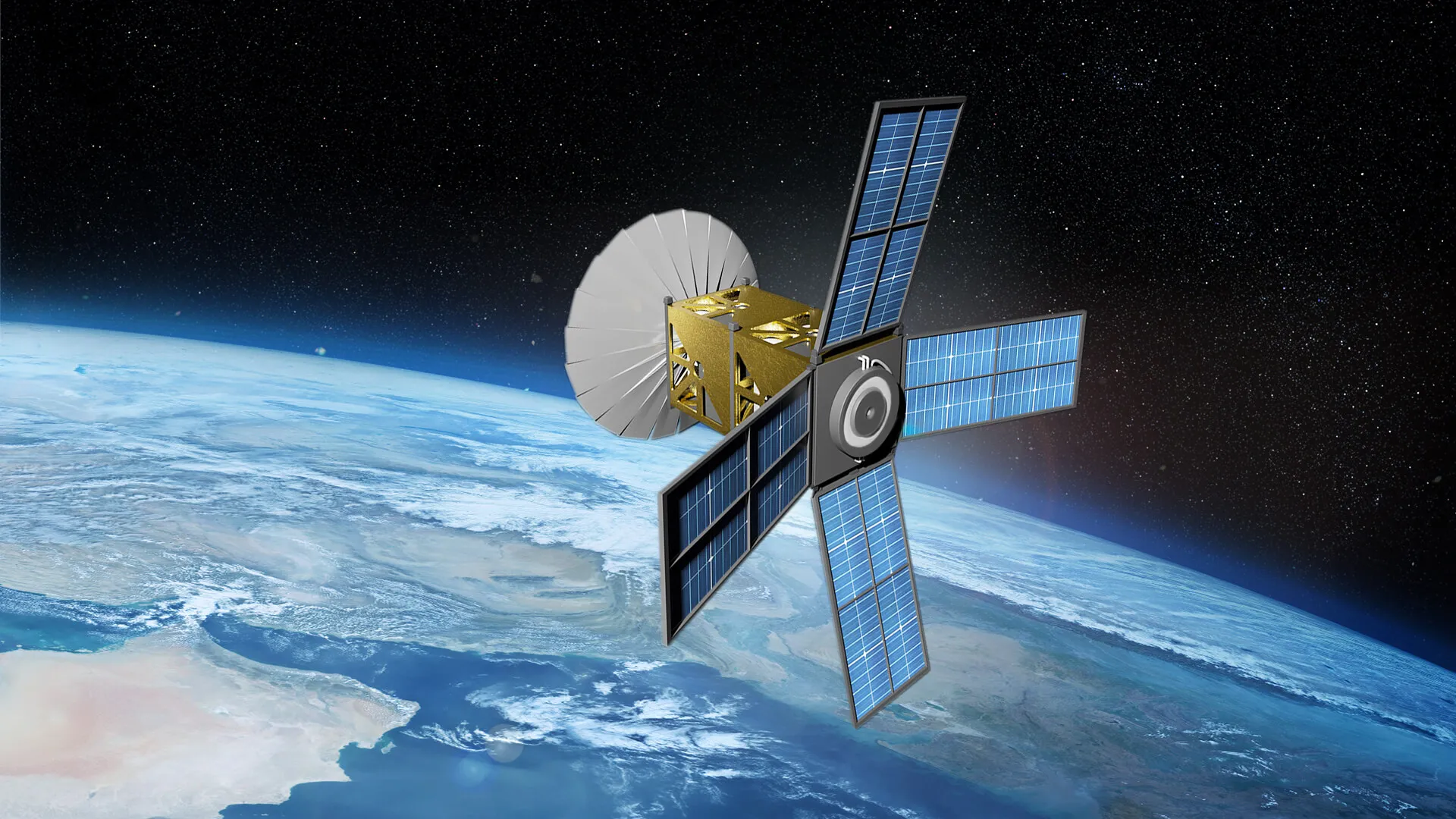
Satellites, whether in low Earth orbit (LEO) or deep space, must endure high vibrations during launch and the harsh conditions of space. Using Abaqus, engineers can model the satellite’s structure, including antennas, solar panels, and propulsion systems, to evaluate their behavior under launch loads and space conditions. The software helps in optimizing structural designs for minimal mass while maintaining high strength, which is essential in space missions.

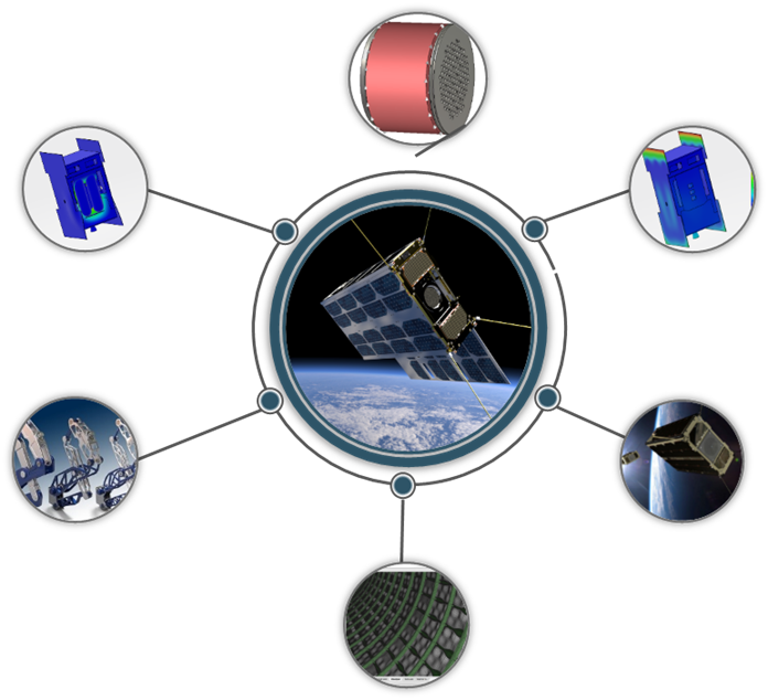
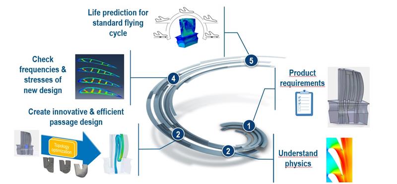
Fig:1: Simulation Driven Design Process


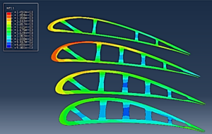
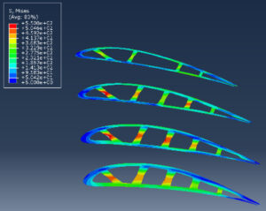
Fig 2: Linear Static FE Analysis with Rotational Body Force & Pressure Load 


  • Rocket Propulsion Systems

The performance of rocket engines is critical to the success of space missions. Abaqus is used to simulate the structural and thermal behavior of propulsion systems, including engines, turbines, and combustion chambers. Thermal stresses, pressure loads, and the material response to extreme heat are analyzed to predict failure points, ensuring that propulsion systems can withstand the intense conditions during launch and space travel.


  • Thermal Protection Systems (TPS)

During re-entry, spacecraft experience high levels of heat that can cause catastrophic damage if not properly managed. Abaqus is commonly used to model and simulate Thermal Protection Systems (TPS), such as the heat shields found on space capsules. By modeling the heat flow and material degradation during re-entry, engineers can ensure that the TPS will perform optimally to protect the spacecraft and its crew.


  • Landing Gear Systems

In the design of spacecraft landing systems, such as the legs and wheels of lunar or Mars rovers, Abaqus plays an essential role in simulating the mechanical performance under landing impacts. These systems need to absorb high-impact forces while maintaining structural integrity, and Abaqus is used to optimize the design for the best balance of strength and weight.


  • Spacecraft Docking Systems

The docking mechanisms on spacecraft must function flawlessly under varying loads and conditions. Abaqus helps simulate the structural interaction between docking systems, considering factors like docking speed, pressure forces, and misalignments. This ensures that docking mechanisms are both safe and reliable, preventing damage during the process.


Benefits of Using Abaqus in the Space Industry:
  • Cost and Time Efficiency: By identifying potential issues early in the design process, Abaqus helps reduce the need for costly physical tests and prototypes.
  • Design Optimization: Abaqus allows engineers to optimize the design of spacecraft and components to improve performance while reducing weight, which is essential for mission success.
  • Risk Mitigation: Through accurate simulation, potential failure modes can be identified and addressed, reducing the risk of mission failure.
  • Multi-disciplinary Analysis: The software integrates multiple physics domains, providing a holistic understanding of how different systems interact within a spacecraft or space vehicle.


Conclusion:

In the space industry, where precision and reliability are non-negotiable, simulation tools like Abaqus are invaluable. They provide engineers with the ability to predict how spacecraft and their components will behave under extreme conditions, enabling the design of safer, more efficient, and cost-effective space missions. As the space industry continues to evolve, tools like Abaqus will remain at the forefront, helping to push the boundaries of space exploration and technology.

Subscribe to our newsletter

Get all the latest information on Events, Sales and Offers.