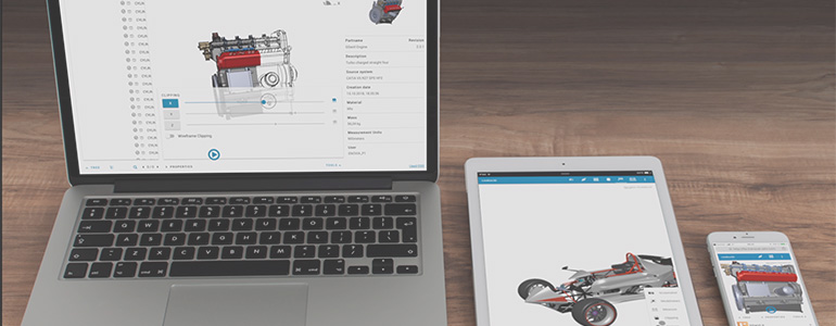
Want to easily define and roll-out methodology in CATIA? Q-Checker and xCompare are fully integrated with CATIA, allowing you to establish company standards and verify the release process. This webinar will also demonstrate how Lite3D, based on JT, can provide all users easy access to complete 3D data.
Resources Category: Webcasts
Application of GEOVIA Surpac in Surveying, Mineral Exploration and Mine Planning
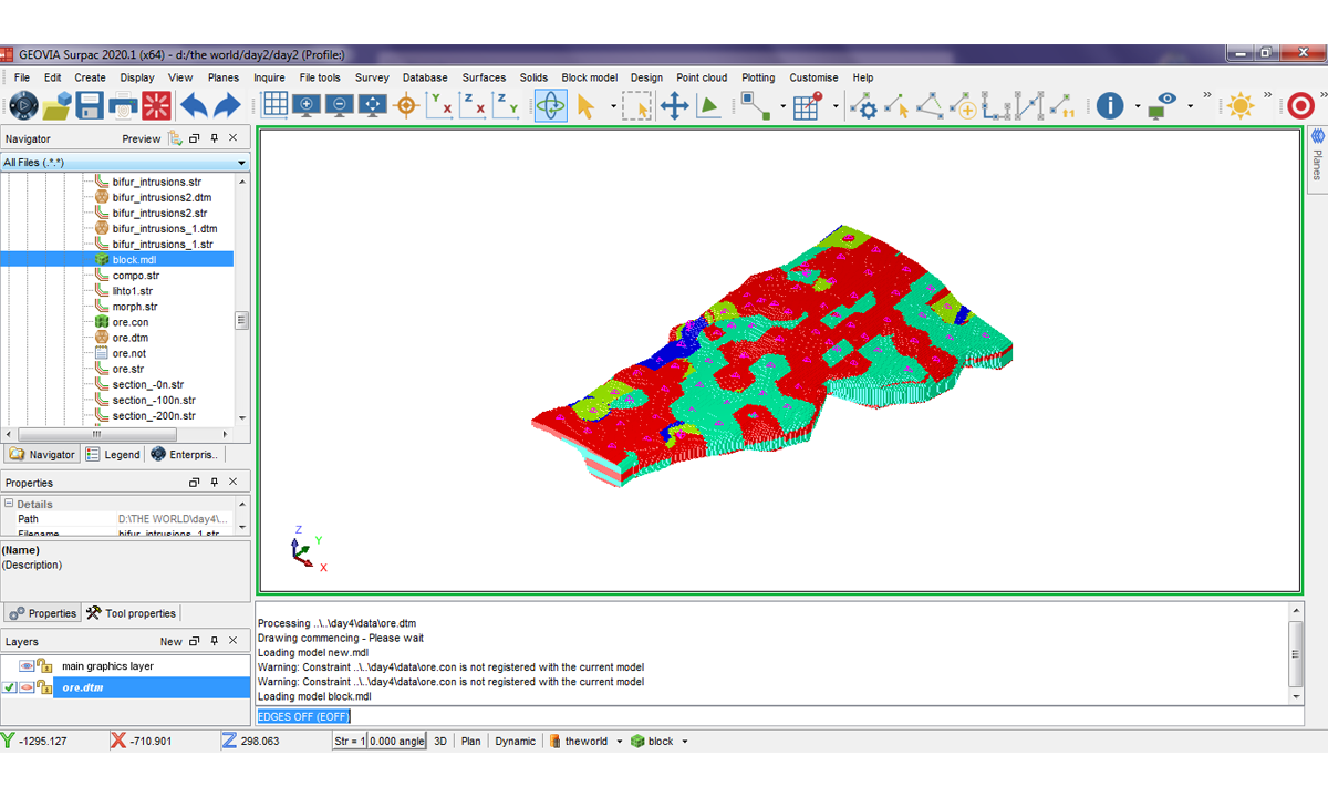
GEOVIA Surpac is the most widely used software in the world, supporting open pit and underground mining operations and exploration projects. Surpac enables mining practitioners to quantify and evaluate mineral deposits and to plan the efficient extraction of resources & reserves………………………
GEOVIA Model and Simulate the Planet
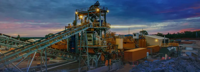
A quick look at how GEOVIA spans the mining value chain and is ready to offer solutions for other Natural Resource industries
Effectively Manage Land Related Data, Processes, and Workflows using GIS Technology
GIS applications are instrumental in land management systems, supporting cadastral mapping, land use planning, environmental assessment, natural resource management, transaction management, risk assessment, and decision support. By leveraging GIS technology, land managers can streamline processes, enhance data analysis, and improve the overall efficiency and effectiveness of land-related operations. There are specific applications designed for land management systems. These applications provide comprehensive tools and functionalities to effectively manage land-related data, processes, and workflows.
How ESRI’s GIS Solutions Assist Mine Planners in Mineral Resource Development
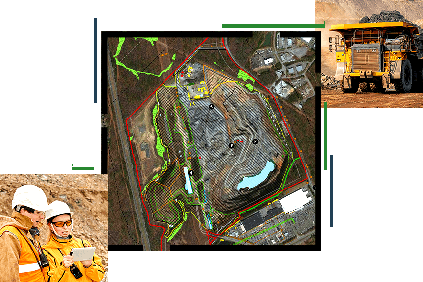
Location Intelligence is fundamental across the mining life cycle, from mineral exploration to mine remediation. With minerals and metals being depleted faster than we can replenish, understanding spatial context and integration with other geoscience technologies is critical in the strategic and environmentally sustainable development of new reserves. Esri’s GIS solutions are used in mainly 5 areas of mining: Survey, Feasibility and Planning, Development, Active Mining and Reclamation.
ENOVIA Multi CAD Experience

Do you lose more data than you can find? Are you spending more time managing your CAD data than you are creating cool new products