
Real-time geospatial intelligence is essential for enhancing homeland security operations. By using Esri’s GIS, security agencies gain immediate insights into dynamic situations. With detailed mapping, tracking, and spatial analysis, real-time intelligence empowers decision-makers to monitor large areas, respond to emerging threats, and allocate resources efficiently. These tools offer the ability to predict threats, spot patterns, and support proactive security measures across borders, cities, and critical infrastructures.
Solutions Products: ArcGIS
Advanced Surveillance and Data Solutions for National Security

In national security, surveillance is vital for monitoring potential threats and ensuring the safety of citizens. With real-time monitoring capabilities, advanced surveillance systems enable the collection of critical data for situational awareness. Esri’s GIS tools provide robust mapping and analysis capabilities, helping security agencies track assets and personnel, monitor suspicious activity, and analyze trends across wide geographical areas. These solutions ensure security forces can act quickly and accurately to protect national interests.
Forest Ecosystem Management with Geospatial Analytics and Data
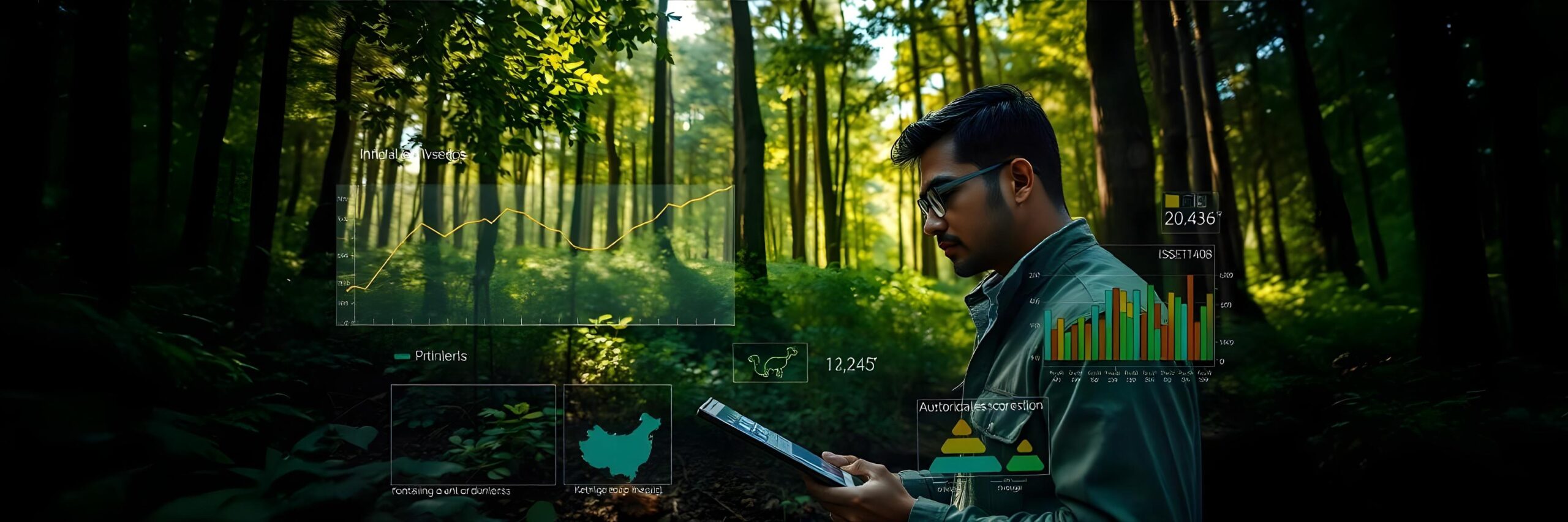
Managing forest ecosystems requires sustainable practices, biodiversity monitoring, and data-driven decisions. Esri’s geospatial analytics enable forest managers to analyze biodiversity, soil health, and water resources across vast forest areas. By using spatial data and analytics, forestry professionals can track changes in ecosystems, plan conservation efforts, and ensure sustainable management of forests and their resources.
Wildfire Management and Prevention with Geospatial Mapping Solutions

Wildfire management relies on precise mapping, monitoring, and predictive analysis to reduce risk and improve response efforts. Esri’s GIS technology allows forestry teams to analyze fire-prone areas, track ongoing wildfires, and plan firebreaks using geospatial mapping and real-time data. By integrating weather patterns, vegetation density, and terrain data, agencies can predict fire behavior, improve response times, and implement effective fire prevention strategies.
Afforestation and Reforestation with Geospatial Monitoring and Planning

Managing forest ecosystems requires sustainable practices, biodiversity monitoring, and data-driven decisions. Esri’s geospatial analytics enable forest managers to analyze biodiversity, soil health, and water resources across vast forest areas. By using spatial data and analytics, forestry professionals can track changes in ecosystems, plan conservation efforts, and ensure sustainable management of forests and their resources.
Geospatial Insights for Land Records & Property Management

Managing land records and property information is essential for effective public administration. Esri ArcGIS provides geospatial solutions for organizing, maintaining, and analyzing land and property data. Through detailed mapping and data visualization, ArcGIS allows public agencies to manage land records efficiently, improve property tracking, and ensure accurate taxation and zoning. By centralizing land data in a digital platform, ArcGIS enhances access to up-to-date information, supports regulatory compliance, and reduces the risk of errors.