
Data-driven decision-making is essential for effective public policy. Esri ArcGIS provides real-time geospatial analytics that enable government agencies to track trends, assess the impact of policies, and make data-informed decisions. By integrating diverse data sets such as demographics, environmental data, and public infrastructure, ArcGIS empowers policymakers to make well-informed decisions based on spatial data. This leads to better planning, more effective policies, and improved outcomes for communities.
Solutions Products: ArcGIS
Improving Government Transparency with Geospatial Data

Government transparency is crucial for building trust and accountability in public administration. Esri ArcGIS provides public sector agencies with powerful geospatial tools to visualize and share key government data related to infrastructure, services, and operations. By leveraging interactive maps and real-time data, ArcGIS enables governments to increase transparency by making information such as land use, public services, and emergency response more accessible to the public. This improves public trust, encourages participation, and supports better decision-making for sustainable development.
Smart Geospatial Solutions for Precision Agriculture
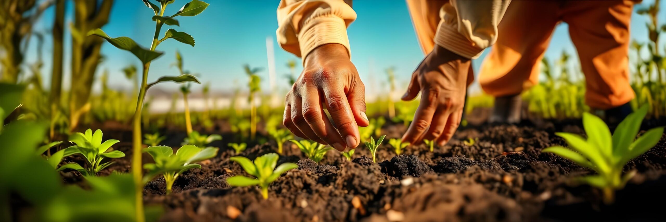
Precision agriculture requires cutting-edge technology to make farming more efficient and sustainable. Esri’s smart geospatial solutions provide farmers with the tools to monitor every aspect of their operations, from planting to harvesting. Using GIS-based mapping and data analytics, farmers can optimize field management, track crop conditions, and adjust operations in real-time. Esri’s technology empowers farmers to reduce input costs, conserve water, and minimize pesticide use by offering precise,data-driven insights into their farming practices. These solutions improve long-termm productivityty while enhancing environmental sustainability.
Harvesting Decisions and Crop Yields with Geospatial Insights

Making informed decisions about harvesting timing and crop yields is critical to maximizing productivity and minimizing losses. Esri’s geospatial insights enable farmers to analyze field conditions, assess crop maturity, and optimize harvesting schedules based on real–time data. By integrating weather patterns, soil health, and crop growth stages into a unified map, farmers can identify the ideal harvest window, improving yield quality and reducing waste. These insights also help forecast crop performance and plan for market demands, ensuring harvests are conducted at peak efficiency.
Crop Management with Geospatial Analytics and Real-Time Data
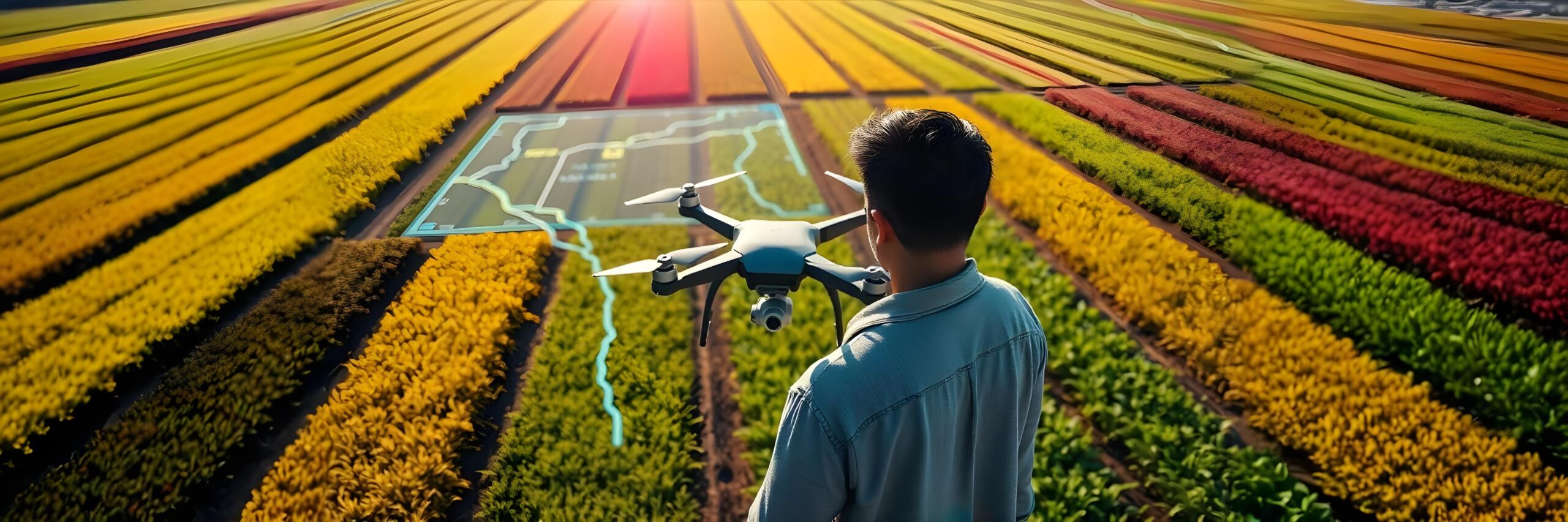
Effective crop management relies on timely and accurate information to optimize agricultural practices. By leveraging Esri’s geospatial analytics and real-time data, farmers can monitor and manage crop health, track soil conditions, and improve yield predictions. Esri’s GIS platform allows for the collection of real-time data from various sources such as satellites, drones, and IoT sensors, enabling farmers to make informed decisions regarding irrigation, pest management, and field productivity. With these insights, farmers can improve operational efficiency, reduce costs, and increase crop yield while maintaining sustainable farming practices.